Mapping a purpose: GIS major turns data into climate action
Mapping a purpose: GIS major turns data into climate action
May 1, 2026
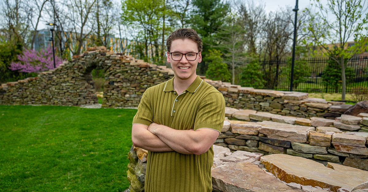
Sean Olcese is completing a bachelor's degree in geographic information science and is already working on a master's in urban and regional planning.
On a moonless summer night in Great Sand Dunes National Park and Preserve in Colorado, Sean Olcese discovered his purpose.
A South Jersey native who hadn’t traveled far beyond his home state, Olcese looked up at the darkening sky and spotted Mars, a red dot on the horizon. As he watched, thousands of stars appeared—then billions of stars, gases and dust that give the Milky Way its name.
With the universe unfolding above him, the son of a pediatric nurse and a pharmacist felt both tiny and inspired.
“There’s so much more out there,” Olcese recalled thinking. “There’s so much more to this planet. What am I going to do about that? How am I going to contribute to society and this machine that keeps turning after people come and go?”
That was five years ago. Today, Olcese is preparing to graduate from Rowan University with a degree in geographic information science and minors in computer science and mathematics, a path shaped by exploration, persistence and a growing desire to protect people and the environment.
Searching for the right path
After exploring forensic accounting, and then computer and data science at another institution, he landed at Rowan. He was about 75% of the way through a computer science degree when he asked advisors to help him find a major that would align his technical skills with his interests in serving others.
They pointed him to mapping and planning programs in the School of Earth & Environment. There, coursework and lab experiences revealed how maps could translate complex data into maps people and communities could understand, particularly around the compounding effects of climate change.
Visualizing inequity and risk
In a GIS course taught by Ashley York, Ph.D., Olcese created maps showing how majority-Black neighborhoods in Philadelphia continue to feel the effects of redlining practices from decades ago.
Impressed by his work ethic, aptitude and kindness, York encouraged Olcese to serve as a GIS mentor for fellow students. She later connected him with a paid research opportunity in the Community Action for Resilience and Equity (CARE) Lab led by Qian He, Ph.D.
“A lot of students are hesitant or scared to do something wrong,” York said. “He’s really good at going head-on into a project.”
Real-world research, real-world consequences
As He’s research assistant, Olcese focuses on 126 municipalities across coastal regions of Maryland and New Jersey. Supported by a National Science Foundation grant, the research examines how extreme coastal events affect planning and climate adaptation at the local level.
Olcese’s persistence and compassion in gathering data from resource-challenged communities quickly exceeded his principal investigator’s expectations. As an undergraduate enrolled in master’s-level coursework, he connected flooding risk to local property taxes and potential disruptions to essential services such as fire protection and elementary schools.
“That really makes an abstract concept so relatable,” He said. “Sean is truly exceptional. It is always a faculty's privilege to get to work with such a dedicated, hard-working student.”
Data that makes a difference
At the New Jersey Coastal and Climate Resilience Conference in Galloway this spring, Olcese’s maps demonstrated how rising sea levels will affect the Cape May peninsula and parts of Atlantic County’s barrier islands. That same work earned first place in the analytical and results category at a mapping competition hosted by the N.J. Department of Environmental Protection in Trenton.
“You turn numbers into something place-based,” Olcese said. “That’s what people connect with. Sometimes they tell me, ‘I’m going to have to go home and tell my partner we need to move.’ I usually say, ‘Let’s not panic—but let’s pay attention.’”
Already enrolled in Rowan’s accelerated 4+1 master’s program in urban and regional planning, Olcese is working at a professional GIS analyst level, with skills that are “above and beyond,” York said.
“I think he’ll be really well set up to go into whatever industry he chooses, whether it’s planning or GIS,” York said.
After Commencement, Olcese will return to He’s lab to prepare for an upcoming conference on natural hazards in Denver, back in the state where his journey toward helping people and the planet first began.
“I wanted to have an impact,” Olcese said. “It's been the best experience of my academic career by far and one of the best of my life.”
Every spring, Rowan University highlights one graduating student from each school and college. Read more about this year’s featured graduates. Their stories show the ambition, purpose and creative collaboration that drive all Rowan students to Defy Definition.