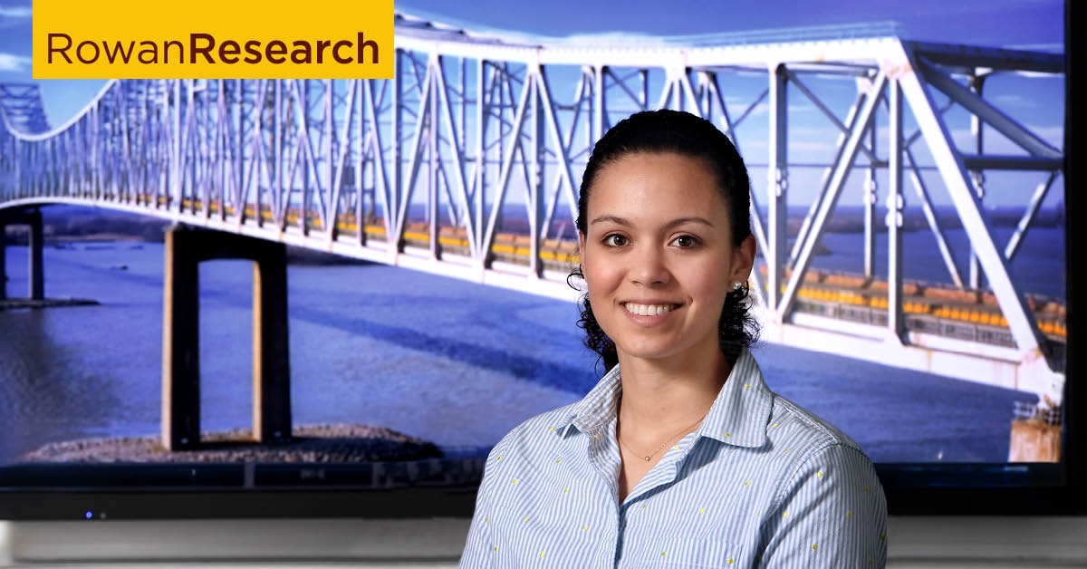
Advancing bridge assessments and safer inspections
Advancing bridge assessments and safer inspections

Adriana Trias Blanco, Ph.D.
Structural engineer
Areas of expertise:
Structural engineering, remote sensing, bridge engineering
More informationMaintaining aging bridges is both costly and risky. Traditional inspection methods—such as visual assessments or drilling core samples—can be subjective, potentially damaging to the structure, and hazardous for inspectors. These approaches often rely on human judgment, increasing the likelihood of error.
As a structural engineer and assistant professor in the Henry M. Rowan College of Engineering, Adriana Trias Blanco is advancing the field by integrating LiDAR (Light Detection and Ranging) into bridge assessments. This remote laser technology enables engineers to measure geometry, which includes distances, deformations and vibrations with remarkable precision. Her work helps bridge owners reduce inspection costs while enhancing safety and reliability.
LiDAR’s capabilities allow for non-destructive evaluations of bridges, wind turbines and roadways. At Rowan’s Center for Research & Education in Advanced Transportation Engineering Systems, Trias Blanco leads a team of undergraduate, master’s and doctoral students who use computational models to predict structural performance and validate these predictions with remote sensing data.
In one study, the team used LiDAR to monitor bridge vibrations caused by passing traffic—without installing physical sensors. This approach offers a safer and more efficient way to assess structural health.
Collaborating with the New Jersey Department of Transportation, the team is also mapping overhead clearances to help truck drivers avoid low bridges and overpasses. The goal is to integrate this data with navigation tools like Google Maps, enabling drivers to plan routes based on their vehicle’s height.
Since first exploring LiDAR a decade ago, Trias Blanco has witnessed significant improvements in its accuracy.
“LiDAR was originally used on airplanes for terrain surveys with a margin of error around five centimeters,” she explained. “Today, the technology is accurate to within one millimeter.”
Looking ahead, artificial intelligence may further enhance LiDAR’s ability to assess bridge conditions, making infrastructure inspections even more intelligent and predictive.
Rowan University researchers are passionate about what they do. Find more at Meet Our Researchers.